space-time analysis
finding patterns in search and rescue data
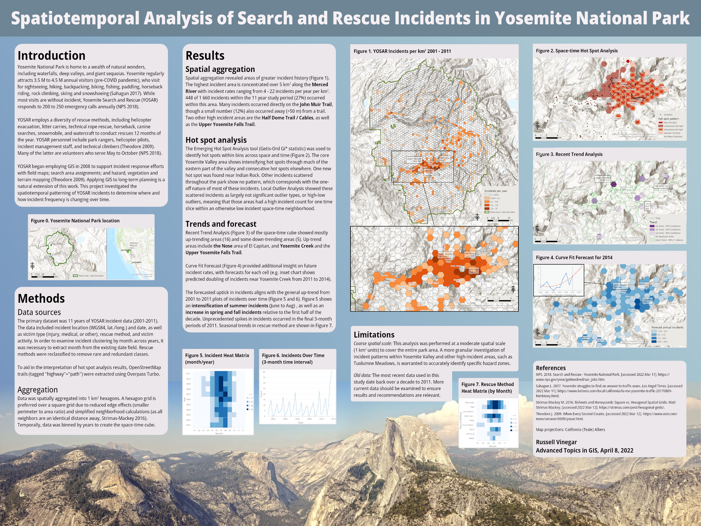
This project looked at Yosemite Search and Rescue (YOSAR) incident data, using an array of ArcGIS Pro analysis tools to identify spatial and temporal trends. I leveled up my poster layout design from past efforts, incorporating a nifty landscape image into the poster background and taking better advantage of guides to organize the layout.
Whether or not I will keep producing posters in ArcGIS Pro or transition to Publisher, Illustrator, InDesign or elsewhere remains to be seen.

Who knows what salient trends I might have found had I used ArcGIS Insights
Publication specifications: 48” x 36” print poster
PNG (4 MB)
PDF (17 MB)